top of page


GIS DIGITAL MAPPING
& DRONE SERVICES
Digital maps are an essential tool to accurately record information relating to your woods which will include compartment boundaries, species composition and felling areas.

The maps are used for management plans, grant applications, compartment schedules and contractor instructions.
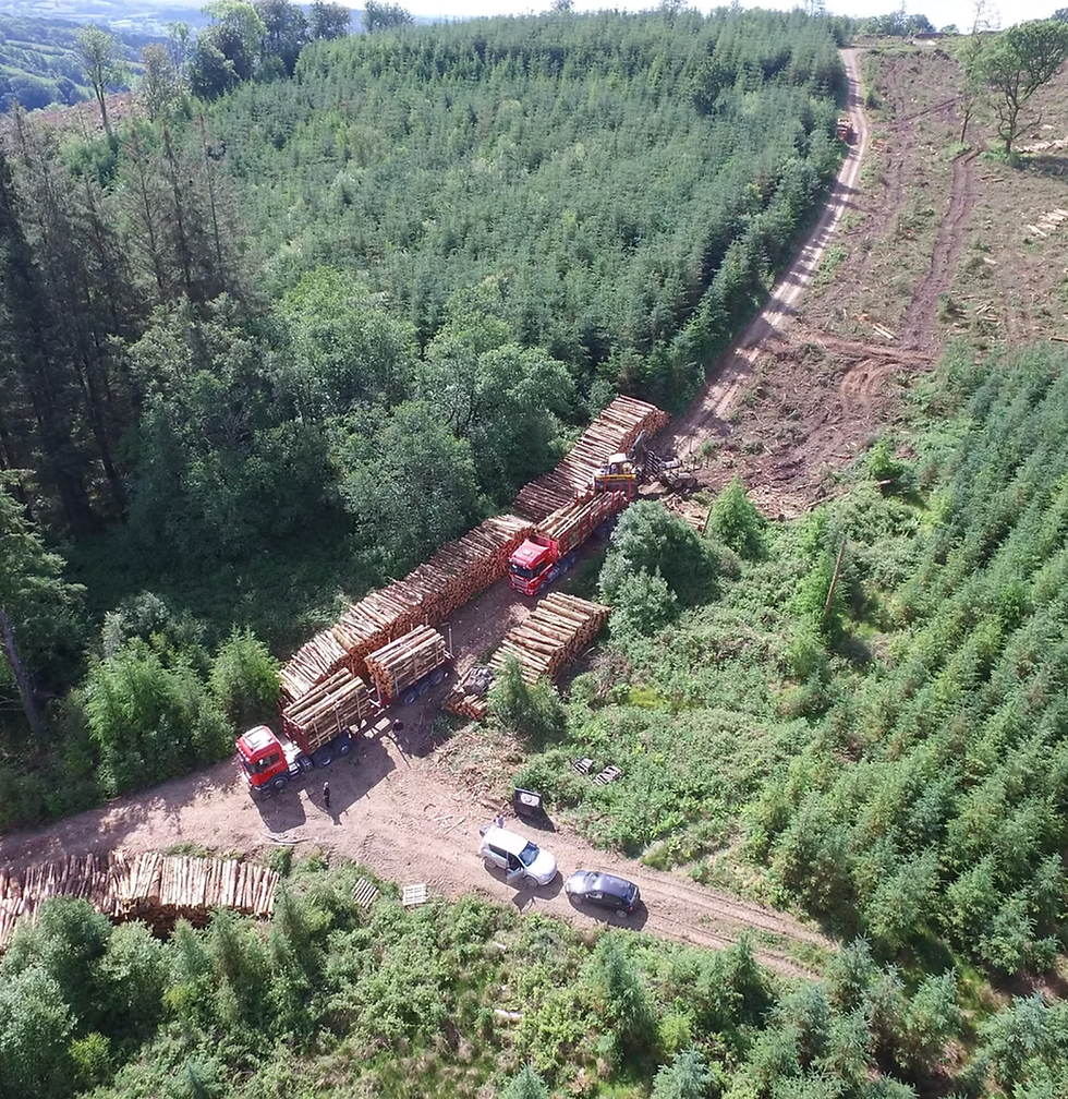
The company owns several drones, including a model which produces a precise, high-definition aerial image. Good drone images contribute to accurate data which will inform work programmes and budgets.
Our services include:
-
Drone photography of woodland and woodland creation sites
-
Digital mapping of woodland compartments, species composition, stocking levels, tree diseases and work programmes.


bottom of page